Check your LGA
You can find out what Local Government Area (LGA) you live in at the Office for Local Government:
Online Maps
Our online maps contain information about;
- Property and Wards
- Planning
- Parks
- Flooding
Due to the large number of different layers available, a range of different mapping modules have been created. Please select the most suitable module below.
Note: you can change modules at any time from within the online map. They are listed in the upper left hand side panel.
Property and Wards
View Council's property related information, including Council Wards, waste collection days and more. The new Ward boundaries, which Council approved at its Meeting of 13 November 2019, will come into effect for the December 2021 General Local Government Election. | 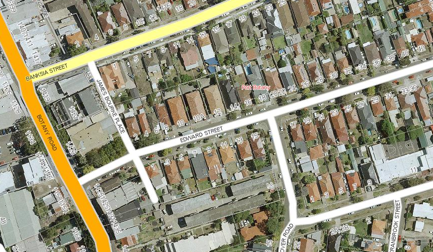 |
Planning
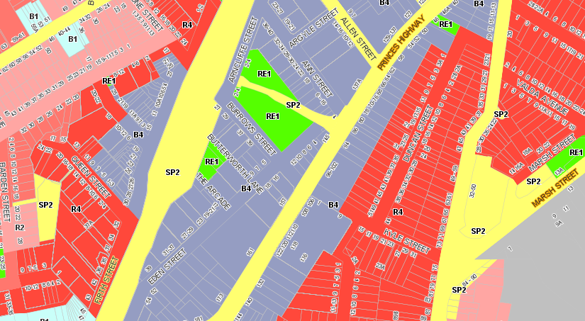 |
View a wide range of mapping layers directly related to the most recent Planning Scheme. |
Parks
View Council's parks and reserves location and facilities information and more. | 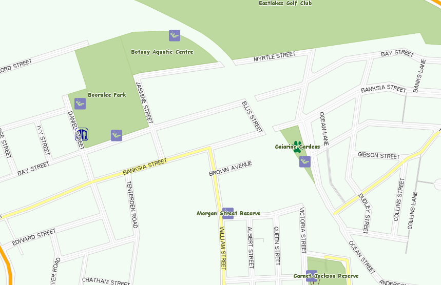 |
Flooding
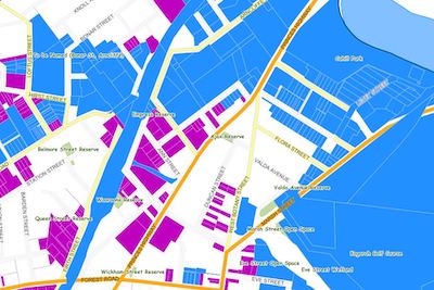
|
View Council’s Flood Mapping Layers and Flood Prone Areas. |