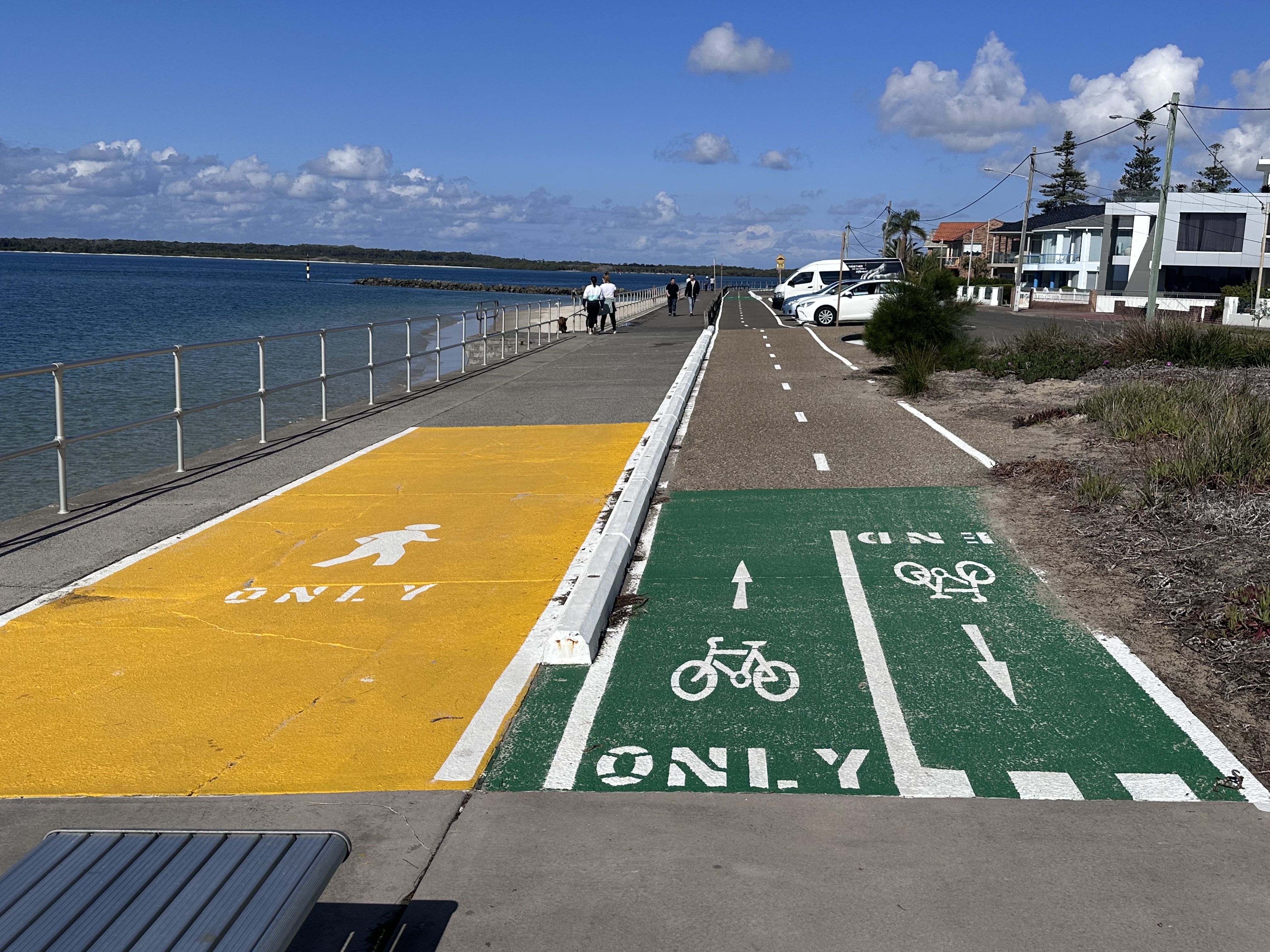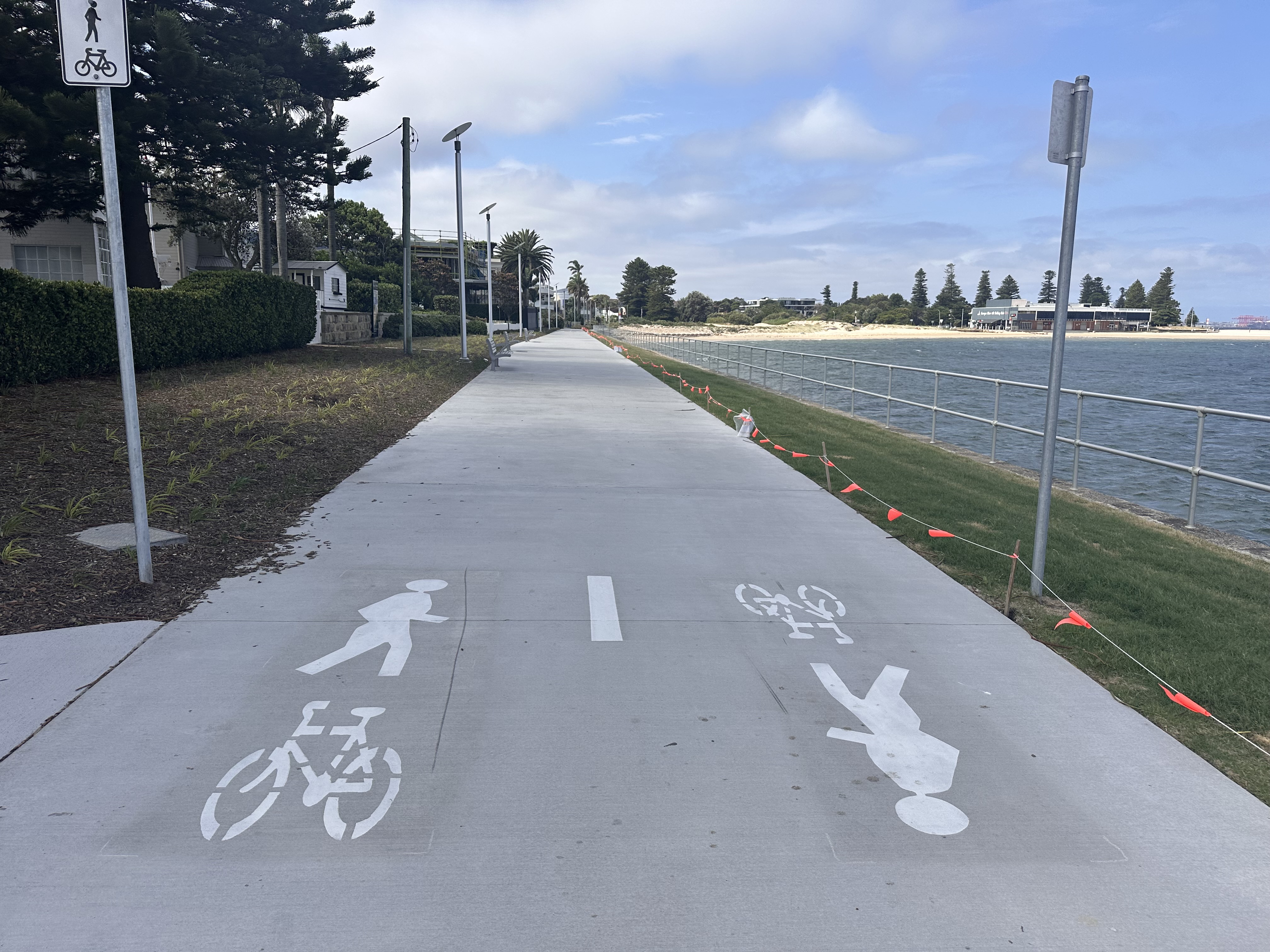
Cycling is a great way to get around Bayside whether you are commuting, exercising, or travelling locally.
As new cycleways are built across Bayside, more of our community are utilising bicycles to explore local neighbourhoods, to actively commute, or to simply enjoy the fresh air with friends and family.
The Bayside community is increasingly embracing cycling as a healthy and sustainable transport option.
Bayside Bike Plan
In 2024, Council endorsed the Bayside Bike Plan which serves as a blueprint for investment in cycling infrastructure within our LGA, and a guide to encouraging cycling as a sustainable transport choice.
The Bayside Bike Plan sets out an implementation strategy to develop a safe and connected cycling network, increase community safety and support Bayside as a bicycle friendly destination.
View the Bayside Bike Plan
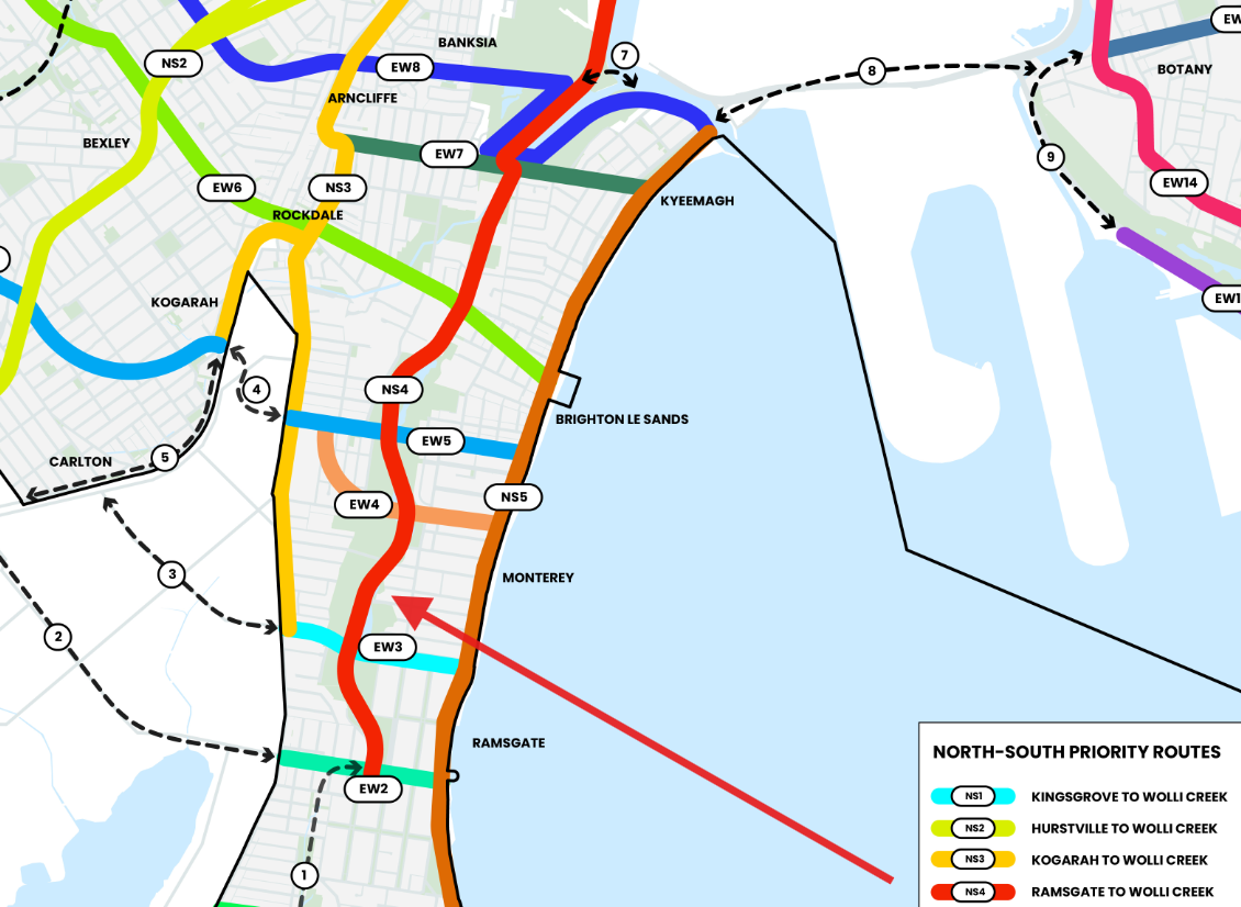
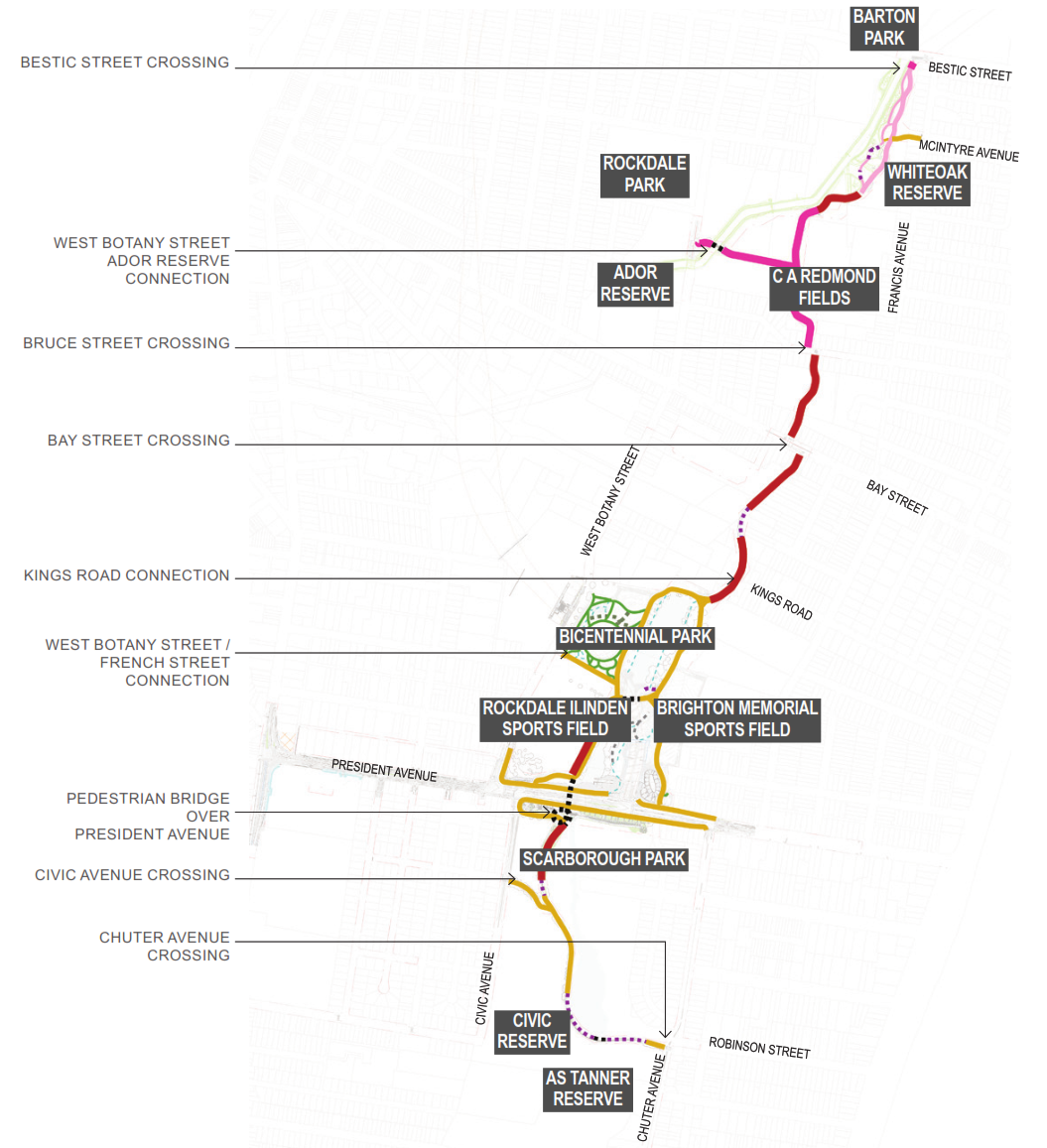
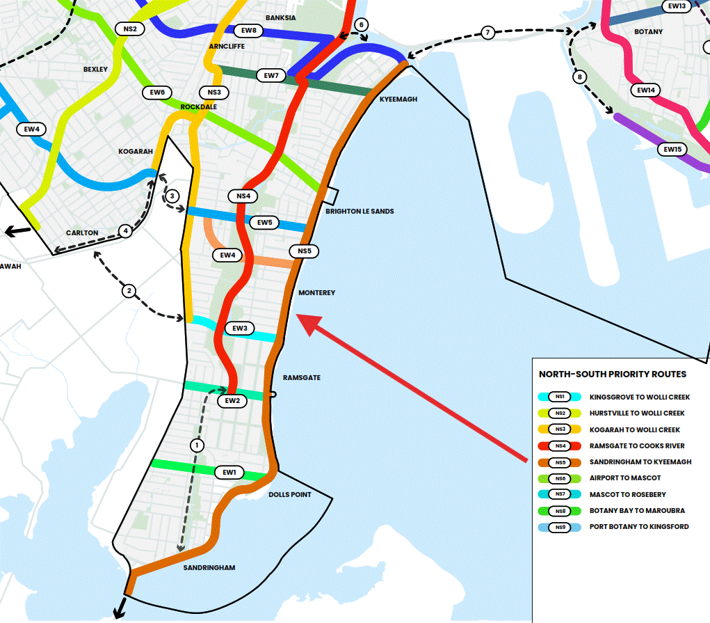
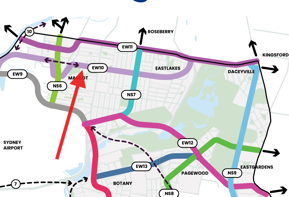
Bayside’s Priority Cycleway Network
Action 1.1 of the Bayside Bike Plan is to investigate and progressively implement the Bayside Priority Cycleway Network.
The Bayside Priority Cycleway Network identifies a number of key cycling corridors that are sought for upgrades over the coming years.