Our climate is changing. Globally there have been increases in average air and ocean temperatures, rising sea levels, reduction of snow and ice cover, changes to ocean circulation and regional weather patterns, including rainfall. Increased rainfall intensity and sea level rise (SLR) due to climate change, may make flooding and drainage issues more significant in Bayside. Council is committed to working with its community to identify and respond to emerging hazards and risks associated with local climate change.
Botany Bay Council's Sea Level Rise Policy
The former City of Botany Bay Council resolved in February 2014 to continue to apply the 2009 Sea Level Rise Policy benchmarks of 0.4m above the Australian Height Datum (AHD) by 2050 and 0.9m above AHD by 2100 relative to a 1980-1999 reference period in preparation of planning instruments, policies and flood studies and to use the Sydney Coastal Councils Group (SCCG) Inundation Mapping in planning assessments, policies and flood studies.
The Botany Council Policy on sea level rise was adopted in October 2015. The Policy reinforces Council’s position on sea level rise by the adoption and application of sea level rise benchmarks noted above. It provides a framework to assist Council and the community to respond to emerging sea level rise hazard and risk. The draft policy was exhibited from 12 August 2015 until 11 September 2015.
For more information please see the Botany Council Sea Level Rise Policy.
Coastal Erosion
Coastal erosion in Botany Bay has become an increasing problem in recent years that may be exacerbated by sea level rise, a high profile example of which, occurs around the Sans Souci Baths. Sea level rise studies commissioned by Council show that developments within Botany Bay have contributed to coastal erosion including:
- Dredging associated with the Port expansion
- Land reclamation – most recently for the Port expansion but also for the airport in the past
Heat Island Effect
The heat island effect is the result of large areas of hard surfaces in urban areas, like, roofs, roads and paving absorbing heat during the day and radiating it at night. As average temperatures increase and the Sydney experiences longer, more intense heatwaves, councils will need to look at ways to reduce the heat island effect. Increasing tree canopy, including water features in the urban landscape through water sensitive urban design and installing pale paving and roads will all help to reduce the heat island effect. Bayside Council is reviewing its plans as well as working with local and regional stakeholders to increase green city spaces for a more comfortable place to live and work.
What does climate change mean for my development application under the Botany Bay DCP 2013?
If the property is affected then follow the following preliminary procedures:
- If it’s for a new single house or alterations and additions to a house etc then Council will set the habitable finished floor level. Please contact Council on council@bayside.nsw.gov.au.
- If it’s for a subdivision of land into two or more allotments, a residential flat building, multi-unit dwelling development you are required to lodge a flood study which takes the sea level rise into account with your DA. You will also be required to lodge a risk management plan.
- If it’s for industrial/commercial or change of use then a Risk Management Plan.
A Risk Management Plan may need to be prepared to minimise the exposure of development to coastal risk and provide management responses and adaptation strategies associated with the following:
- The safety of future workers and occupants on-site;
- The safety of the public off-site;
- The safety of adjoining properties;
- The safe evacuation route during storm and flood events; and
- The freeboard above the flood planning levels.
If you have any questions or need assistance relating to this matter, please contact Council's Strategic Planning Unit or the Development Assessment Services on (insert council number).
Sydney Coastal Councils Group Inundation Mapping
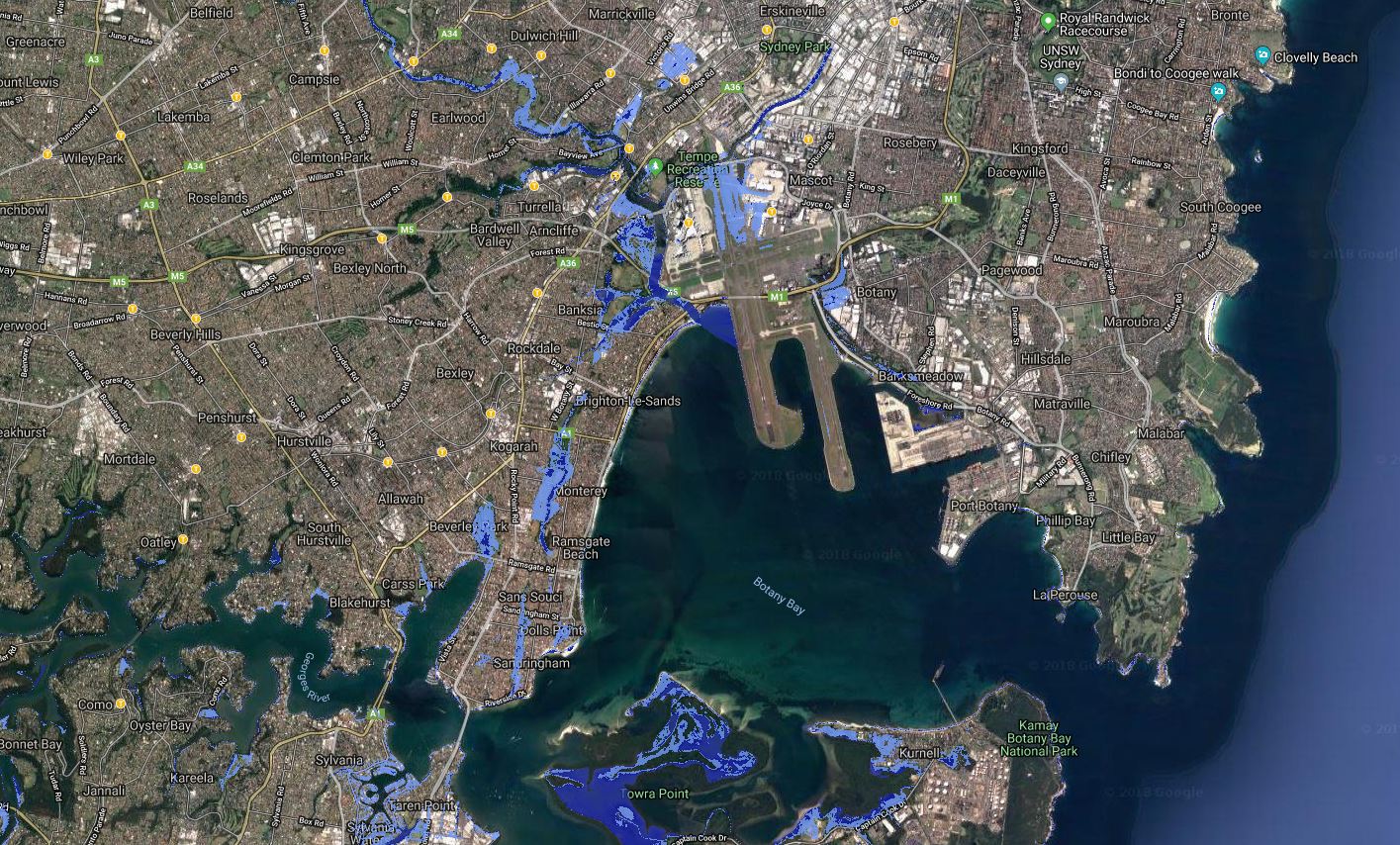
A study has also been undertaken by CSIRO and Sydney Coastal Council Group (SCCG) (of which Bayside Council is a member) which focused on the evaluation of sea level inundation along the Sydney coastal and estuarine regions under current and future sea level rise conditions.
An assessment of inundation due to the sea level rise utilising tides and storm surge was undertaken using elevated sea levels encountered during storm events. The focus of this study was the development of maps showing the inundation that arises from the contribution of storm surges and astronomical tides to extreme sea levels, which are referred to as storm tides.
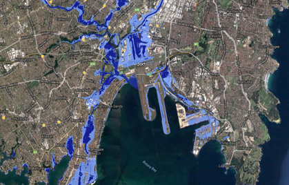
Two maps show the scenarios in the Bayside local government area.
Map 1: 1 in 1 year storm event with a 40cm sea level rise (estimated to be encountered in year 2050) and a 90cm sea level rise (estimated to be encountered in year 2100) and
Map 2: 1 in 100 year storm event with a 40cm sea level rise (estimated to be encountered in year 2050) and a 90cm sea level rise (estimated to be encountered in year 2100).


