Image

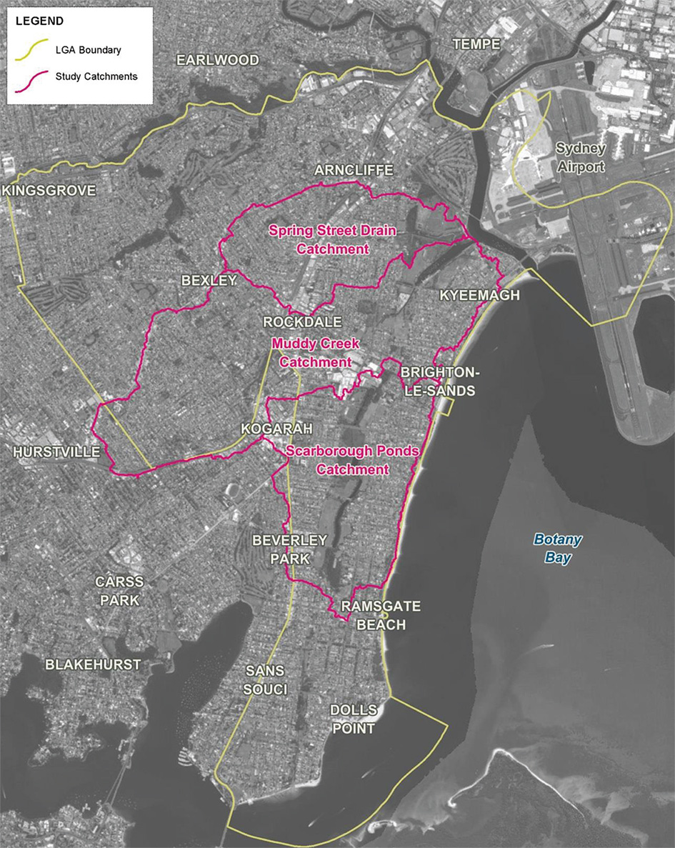
This catchment study area of 13.1 km2 includes three catchments, Spring Street Drain and Muddy Creek that discharge to the Cooks River and Scarborough Ponds that discharges directly to Botany Bay.
The catchment study area is bounded by the Cooks River to the north, Forest Road to the west and Ramsgate Road to the south.
The land use within the catchment is primarily medium to high-density housing with some commercial developments. The catchment also includes some large open spaces Barton Park, McCarthy Reserve, Gardiner Park and various reserves along Scarborough Ponds. BMT WBM completed the flood study for this catchment in 2017 and WMAWATER is currently undertaking a review of the Floodplain Risk Management Study. The draft report of the Floodplain Risk Management Study will be publicly exhibited in early 2022.
Volume 1 Flood Study (9Mb)
Volume 2 Flood Study (50Mb)
Do you live in an area at risk of flooding? Flood extent map, hazard layers and flood affected property information are available in Council’s online mapping system. The NSW State Emergency Service has information that can help you before, during and after a flood.
Prepare Your Home and Business