Image
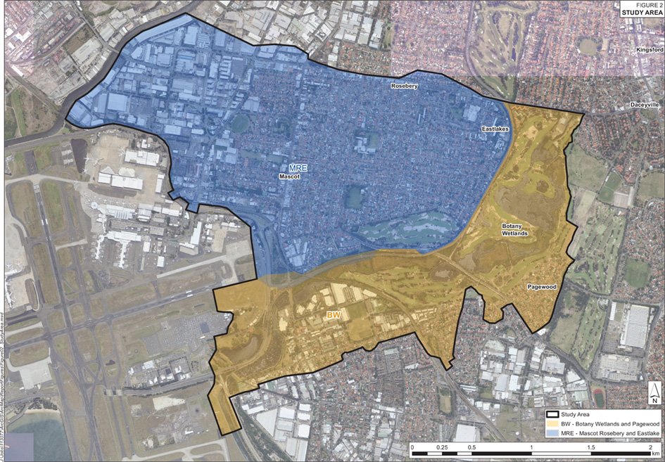
This catchment area covers Mascot, Rosebery and Eastlakes suburbs and the flood study also includes the minor catchment of Botany Wetlands.
The suburb of Mascot is divided by the SWSOOS (ocean outfall sewer) and bounded on the west by the Alexandra Canal. The eastern side generally falls to the south eventually draining via the piped network to Botany Bay or via absorption into the Botany Aquifer. The freight rail line to the south forms a major hydraulic feature of the catchment obstructing overland flow to the south.
Botany wetlands is the largest coastal freshwater wetland system in the Sydney region. The wetlands and ponds cover an area of approximately 58 ha. These wetlands provide a major recharge source for the Botany Sands Aquifer.
A Flood Study for this catchment was completed by WMAWATER in 2015 and Royal Haskoning DHV completed the Floodplain Risk Management Study and Plan (FRMSP) of the Mascot, Rosebery and Eastlakes catchment in 2018. These studies were publicly exhibited in October 2018 and adopted by Council in 2019.
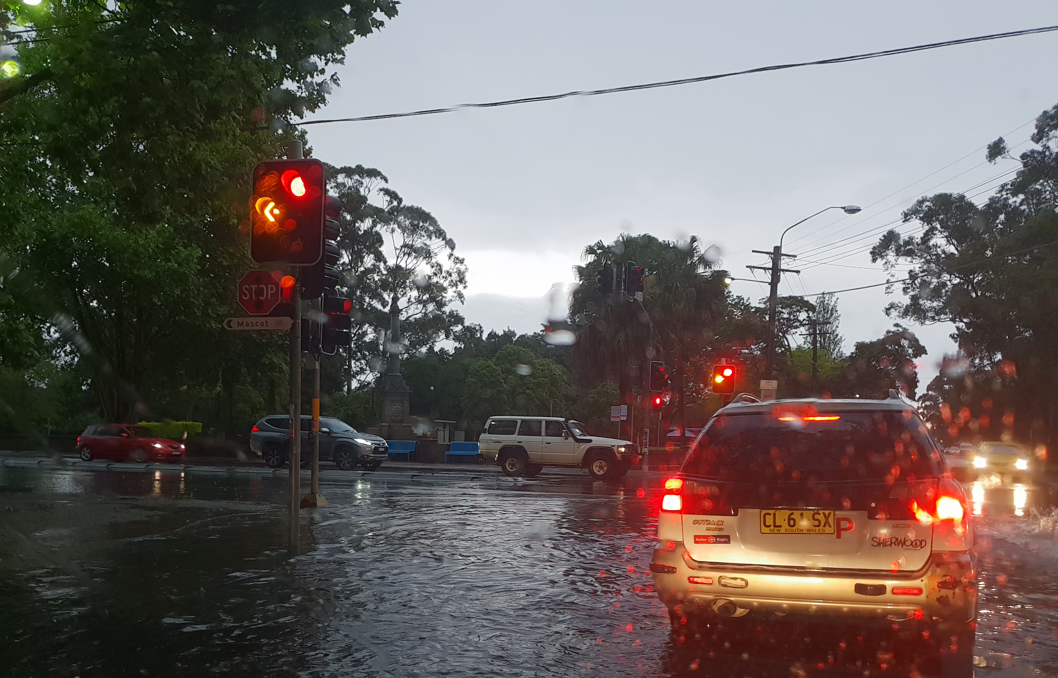
Do you live in an area at risk of flooding? Flood extent map, hazard layers and flood affected property information are available in Council’s online mapping system. The NSW State Emergency Service has information that can help you before, during and after a flood.
Prepare Your Home and Business, Be Aware
Mascot, Rosebery and Eastlakes Flood Study Vol 1
Mascot, Rosebery and Eastlakes Flood Study Vol 2
Mascot, Rosbery and Eastlakes Flood Risk Management Study and Plan