Springvale Drain and Floodvale Drain Catchment
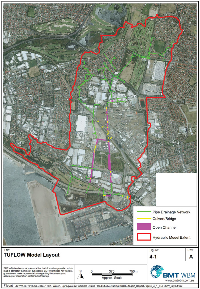
The Springvale Drain and Floodvale Drain catchment encompasses an area of approximately 3.75km2 includes the suburbs of Pagewood, Eastgardens, Botany and Banksmeadow.
Springvale Drain and Floodvale Drain Catchment
The catchment is heavily urbanised and is predominantly comprised of industrial development with a large proportion of residential development in the upper catchment.
The natural drainage systems have been heavily modified and most of the study area is now drained by a stormwater pipe network; there are some open channel reaches in the southern area of the catchment. When the capacity of this stormwater drainage network is exceeded, overland flow will occur along the alignment of the original drains or gullies.
A Flood study for this catchment was completed by BMT WBM in 2014 and a Floodplain Risk Management Study was completed in 2017 by WMAWATER. Both of these studies were publicly exhibited in September 2019 and adopted by Council in 2020.
Managing Flood Risk
Do you live in an area at risk of flooding? Flood extent map, hazard layers and flood affected property information are available in Council’s online mapping system. The NSW State Emergency Service has information that can help you before, during and after a flood.
Prepare Your Home and Business
Springvale Drain and Floodvale Drain Study area map
Springvale Drain and Floodvale Drain Flood Study
Springvale Drain and Floodvale Drain Appendix A 1-18
Springvale Drain and Floodvale Drain Appendix A 19-34
Springvale Drain and Floodvale Drain Appendix B